Ice Storm 2013
January 14-16, 2013
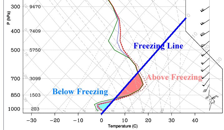
Temperatures across our area were unseasonably warm in the days prior to the ice storm. Daytime highs "soared" into the 70s area wide. A strong Arctic cold front made its way into Louisiana on Sunday the 13th. Temperatures went from the lower 70s that afternoon to the low and mid 30s by Monday morning. The front was a slow mover and became nearly stationary near and just off the southeast Louisiana coast. A persistent subtropical jet streaming out of the Pacific across old Mexico. Disturbances in this flow brought several rounds of mainly freezing rain to our area. Upper level soundings were ideal for a freezing rain setup (see diagram below).
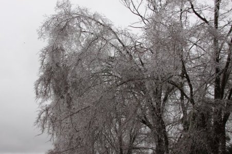
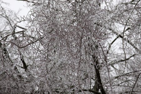
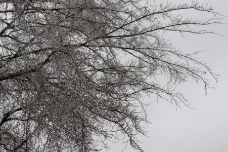
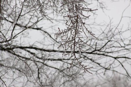
The first round came during the early morning hours of the 14th dumping over 3/4" of rain over portions of the area. Temperatures at the onset were around 35 degrees with dewpoints near 30; however, evaporative cooling allowed the temperature to drop to around freezing within a few hours and light to moderate icing occurred mainly on elevated surfaces (trees, overpasses, and powerlines). Most of the precipitation came to a halt by afternoon but ice accumulations remained.
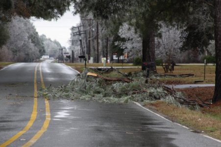
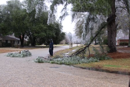
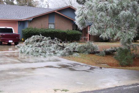
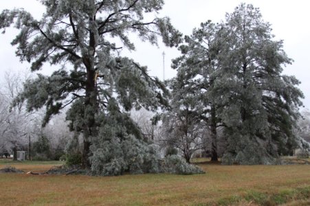
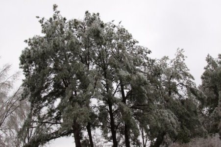
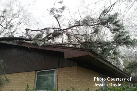
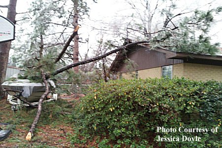
A second disturbance moved across the area during the morning of the 15th adding insult to injury. While rainfall amounts were not as heavy as the prior event, additional icing on top of initial layer was enough to bring down limbs, some trees, and powerlines. The saving grace from this storm is that we did not have sleet or snow to accumulate on the ground and roadways. Unfortunately the limbs did fall on some homes and powerlines near homes setting fire to them. Icing on roadways was limited to bridges, overpasses, and onramps.
A narrow band from central Winn Parish across southeastern Jackson, northwestern Caldwell and into eastern Ouachita received the heaviest icing. A heavier band of precipitation set up in a southwest to northeast orientation with individual components training over the same area (see image below). The last of the precipitation exited the area during the morning hours of the 16th.

Forecast sounding for the impending icestorm. Note the near freezing and below freezing temperatures at and just above the surface with a large warm area above freezing at and above the 850 mb level.
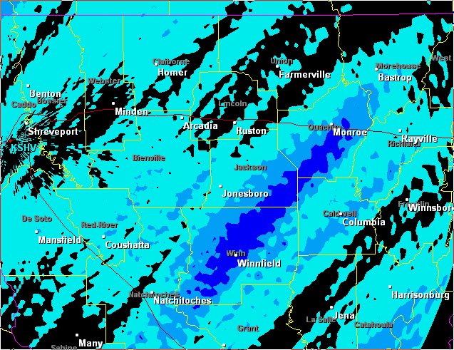
This is a radar storm estimate for the disturbance that moved over the area on January 15 (the second round). Note the narrow band of higher rain totals from Winn Parish into south and eastern Ouachita Parish. The heaviest icing and most damage occurred along this band.
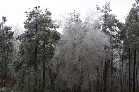
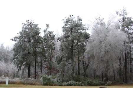
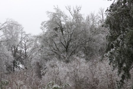
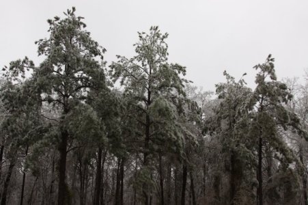
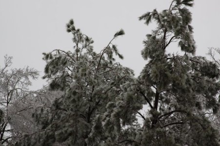
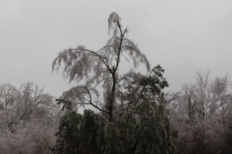
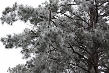
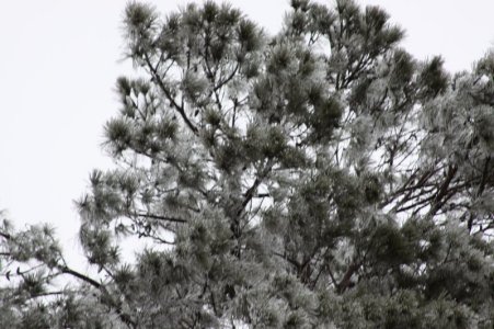
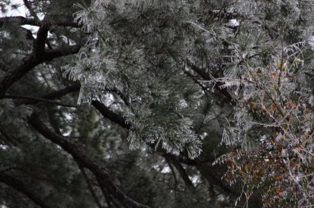
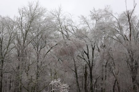
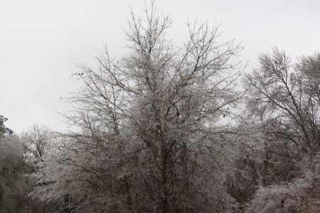
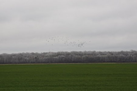
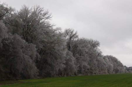
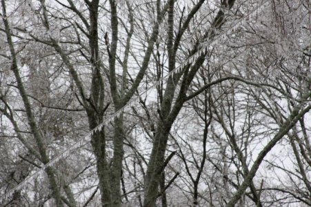
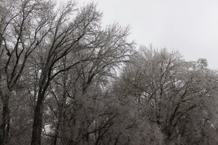
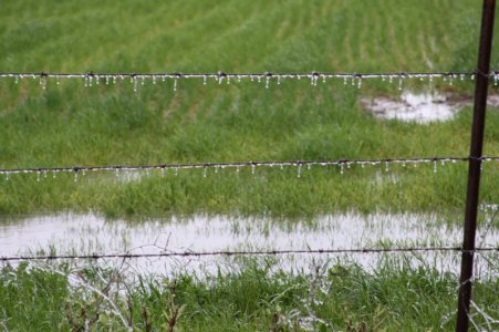
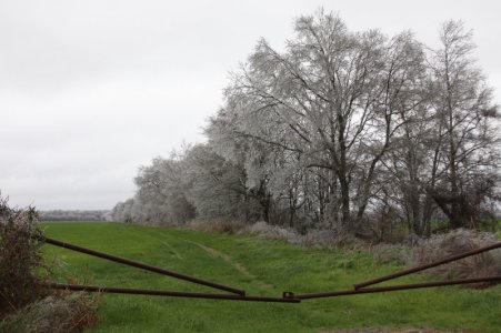
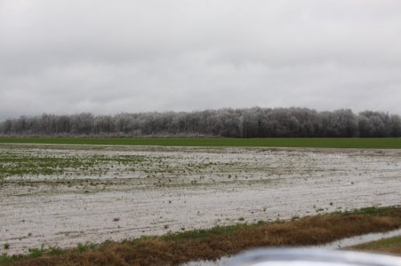
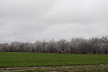
Photos from the Storm
 |
 |
 |
 |
 |
 |
 |
 |
 |
 |
 |
 |
 |
 |
 |
 |
 |
 |
 |
 |
 |
 |
 |
 |
 |
 |
 |
 |
 |
 |